
Raton Pass Braced for Up to 3 Inches of Snow as Winds Hit 35 mph
A Pacific storm system brings gusty winds to New Mexico, while a cold front targets the Raton Ridge for the state's highest snow accumulation.
By Ivan Mori ·
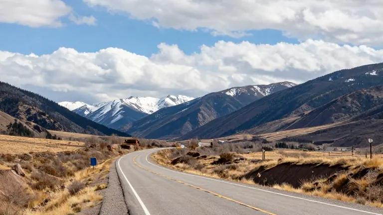
Raton Pass is positioned to receive between one and two inches of snow Wednesday night into early Thursday, with locally two to three inches possible. A cold front will push south into northeastern New Mexico to focus this brief snowfall around the Raton Ridge.
The primary areas to watch include Raton, Raton Pass, Capulin, the Interstate 25 corridor near the Colorado border, and parts of U.S. 64. Snow levels are expected to hover near 9,500 feet, meaning most lower-elevation communities will see little to no snow. Higher peaks may accumulate light amounts.
Strong winds will affect much of the state as a Pacific storm system moves across Colorado. The southern edge of that system will drive west to northwest winds into New Mexico. Winds of 15 to 25 mph will become common, with gusts around 30 to 35 mph possible in many locations.
The strongest winds will favor the central mountain chain, the northern mountains, the northeastern highlands, and the Continental Divide. Despite the breezy conditions, temperatures will remain comfortable for early November. Most lower-elevation communities are forecast to reach the 50s and 60s under partly to mostly sunny skies.
A few light showers may begin developing late Wednesday near the Colorado border. Better chances for precipitation include Chama, Red River, Taos Ski Valley, the northern Sangre de Cristo Mountains, and the Tusas Mountains.
New Mexico will stay dry for most areas Wednesday. High clouds moving across the state Tuesday night are expected to clear from northwest to southeast by Wednesday morning. This clearing allows patchy fog to develop in sheltered valleys in northwestern New Mexico, north-central New Mexico, and the upper Rio Grande Valley. The chance for fog is low, but it will be best in areas with standing water or very wet soils.