
Southern Colorado Holds Warm Temperatures Through Friday Before Weekend System Arrives
Upper-level clouds will bring some cover Wednesday, but highs will remain in the 60s and 70s until a low-pressure system moves in over the weekend.
By Lauren Bello ·
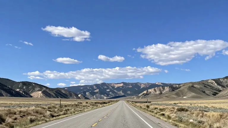
Southern Colorado will experience another mild and dry day on Wednesday, October 28, with temperatures running above seasonal norms. A small atmospheric disturbance passing through the mountain ranges will introduce upper-level clouds during the afternoon. Despite this added cloud cover, sunshine is expected to persist along the I-25 corridor, keeping high temperatures in the 60s and 70s.
The current weather pattern follows a steady week of calm conditions. In Pueblo, residents will start the day with a low of 37 degrees before warming to a high of 72 degrees. Winds will remain light at 5 to 10 mph. Colorado Springs will see a similar trajectory, dropping to 39 degrees in the morning and rising to 68 degrees by midday. Canon City is forecast to reach 69 degrees after a low of 41, with dry conditions and light winds throughout the day.
Elevated areas such as Woodland Park will stay dry, with temperatures ranging from a low of 37 to a high of 60. The Tri-Lakes area, including Monument, will begin in the 30s without fog, climbing to 63 degrees as the sun rises. On the eastern plains, lows in the 30s and 40s will give way to warm, dry highs in the 70s. Southern cities like Walsenburg and Trinidad will start in the lower 40s and reach 66 and 70 degrees respectively, staying dry with afternoon cloud cover.
Mountain regions are starting colder, with morning lows in the 20s and 30s and readings below freezing. Although clouds are moving in, no moisture is forecast for the day, and afternoon highs will reach the 50s and 60s.
The extended outlook indicates that little change is expected through most of the week, with daily highs remaining in the 60s. A shift is scheduled for the weekend as a low-pressure system approaches the region. This system could bring moisture to the I-25 corridor. If the timing aligns with colder air masses, additional areas may receive snow.
Forecasters note that the system's exact impact remains variable. High temperatures are expected to drop into the 50s on Sunday. Temperatures will continue to decline into the beginning of next week as the new system settles over the area.