Tides 1.7 Feet Above Normal Trigger Flood Warning in San Diego
The National Weather Service predicts low-lying areas will be inundated through Thursday afternoon, forcing road closures and protecting critical infrastructure.
By Lauren Bello ·
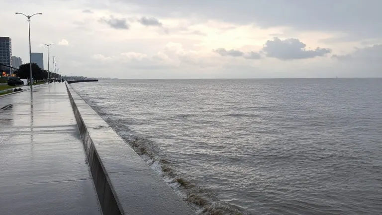
High tides are threatening coastal communities in San Diego County.
Forecasters issued a coastal flood warning that remains active through Thursday afternoon. The National Weather Service (NWS) predicts morning high tides will reach between 1 and 1.7 feet above astronomical predictions. These elevated water levels will inundate low-lying property, including homes, businesses, and critical infrastructure. Numerous roads may close as a result.
The Port of San Diego reported dry-weather flooding in sections of the bayfront on Monday and Tuesday. Part of West Harbor Drive between Market and Front streets closed during those incidents. The road reopened approximately one hour after water levels receded.
Specific areas face the highest vulnerability. These include the Embarcadero, particularly around North Harbor Drive, Laurel Street, and Kettner Boulevard. Downtown San Diego residents should watch Pacific Highway and Laurel Street. Point Loma areas near Anchorage Lane and Canon Street are also at risk. The Bayshore Bikeway between state Route 75 and Flamingo Trail may see disruptions.
Elevated water could overtop seawalls and limit access to waterfront areas. The port noted that traffic disruptions and hazards for pedestrians, bicyclists, and motorists are likely. Residents must protect flood-prone property and avoid driving through water of unknown depth.
The NWS advised people to stay off jetties, seawalls, and beaches during high tides. Waves may run farther up the shore than expected. This warning extends into Orange County.