New Mexico to see cooler temps and light rain by Friday
High pressure brings sunshine and 30-degree mornings, while a weak disturbance increases precipitation odds in the south and west.
By Lauren Bello ·
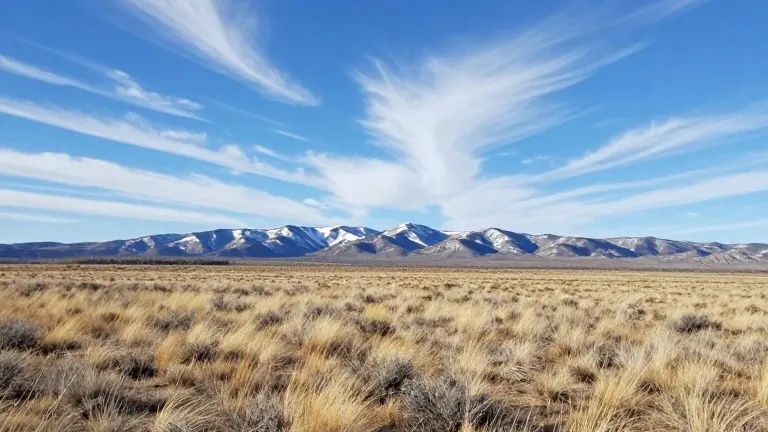
New Mexico residents are facing a sharp drop in morning temperatures and a shift in precipitation patterns this week. High pressure is moving into the state, bringing abundant sunshine and light winds to most areas. However, eastern and southeastern regions will experience breezy conditions as the departing storm system moves east. Winds in those specific areas could reach 10 to 20 mph.
The fast-moving storm system that affected the region has already exited the area. It traveled from the Texas Panhandle into Oklahoma. While most of the precipitation from this system fell across the central Colorado Rockies, higher elevations in the northern Sangre de Cristo and Tusas mountains received light snowfall. The accumulation in these high-elevation areas was described as mainly a dusting.
Cooler air is continuing to filter in behind the front that passed through the state. Morning lows have dropped into the 30s for most locations. A small number of communities remain in the 40s, while a few are holding temperatures in the 50s. Wind chill values are currently running about 5 to 10 degrees colder than the actual air temperature in many parts of the state.
Cloud cover will increase Thursday night ahead of a weak disturbance. This system is expected to move southeast across the Great Basin and the Southwest on Friday. It will then track into southeastern New Mexico on Saturday. Forecast models show better agreement on the track and impacts of this system compared to earlier predictions.
Rain chances will increase Friday afternoon across western New Mexico. These chances are expected to expand into central New Mexico by Friday evening. The best chances for precipitation are located in southern New Mexico, where activity will begin earlier Friday and continue into Saturday. The Albuquerque metro area has about a 10% chance of receiving a few showers on Friday evening.
Snow showers are possible at higher elevations in parts of western and north-central New Mexico. Any rainfall or snowfall is expected to remain light. Locally higher totals could occur beneath heavier or more organized showers. High pressure will build back into the region behind the disturbance, bringing pleasant conditions for the second half of the weekend. This quiet weather pattern is expected to continue through at least the first half of next week.