Northeast Ohio Warms to 74 Before Sharp Turn to 50s
A brief spell of above-normal temperatures ends with heavy rain and a rapid drop in highs.
By Mateo Thompson ·
Weather forecasters in Northeast Ohio expect the region to break out of its dry and warm autumn pattern starting this week. Residents can vote in mild conditions on Election Day, with breezy skies and highs reaching 74 degrees. This temperature sits well above the typical average for early November. The warmth signals a final stretch of pleasant weather before a dramatic shift in conditions.
The high of 74 degrees for Cleveland on Sunday remains below the all-time record for this date. The current record for the Cleveland metro area is 79 degrees, set in 1961. Akron and Canton also share a record high of 79 degrees from the same year. Forecasters note that while the weather will feel unusual, it is unlikely to break these long-standing marks. Highs in the mid-70s are the most probable outcome for most areas.
Mansfield in the West Region offers the best chance for a record tie or break. The all-time high for that date is 76 degrees, established in 2015. Current models suggest temperatures there could reach the mid-70s, potentially matching the 2015 figure. This localized spike stands out against the broader regional forecast, which favors the mid-70s over the upper 70s or 80s for the rest of the metro area.
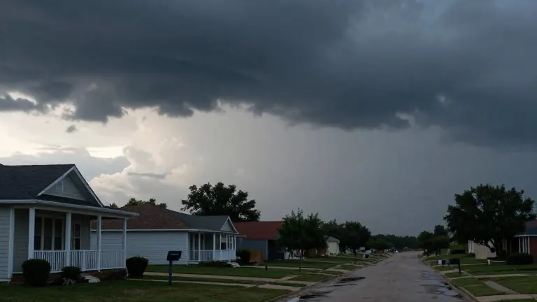
Widespread rain arrives on Wednesday, marking the end of a dry spell lasting more than two weeks. The precipitation may fall heavily at times, providing the best chance for rainfall in a while. Forecasters advise residents to clear leaves from gutters and storm drains before the storm hits. Fallen foliage can clog runoff areas, leading to localized flooding if rain arrives quickly.
Thursday brings the end of the warmth as the rain pushes out. Highs fall back into the 60s by that day. The drop continues through the weekend, with temperatures falling into the 50s by Friday. Isolated showers may pop up along the way, but the dominant trend is a rapid cooling. The region moves from several days above average to below average in just a few days.
The forecast shows a steady decline in highs over the next five days. Wednesday will see highs of 71 degrees amid likely heavy rain. Thursday drops to 65 degrees with mostly dry conditions. Friday cools to 59 degrees with isolated showers, and Saturday reaches a low of 53 degrees. This sharp temperature slope confirms the return of typical November weather by the end of the week.